Mountains, Earthquakes and Volcanoes Mini Unit Resources
Mountains, Earthquakes and Volcanoes Mini Unit for NGSS MS ESS2-2
In the Mountains, Earthquakes and Volcanoes mini unit, students analyze actual earthquake data and draw conclusions about how and why plates move. They use hot water, paper, cardboard and food dye to model convection currents and plate boundaries. An analysis of earthquake depths along a subduction zone allows students to discover how much we can learn about the Earth even though we can’t see underground! Extension Activities ask students to create a travel brochure to a destination with exciting geologic activity!
Anchor Phenomenon Ideas: Share recent earthquake data (just click on the interactive map) or articles about recent volcanic eruptions or earthquakes with students and use their authentic questions to make connections throughout the unit.
Tips and Tricks: Here is a simple model of convection currents you can share with students in a mini lesson to inspire their own models. This one minute animation of mantle convection and plate movement will help students visualize what happens below Earth's surface.
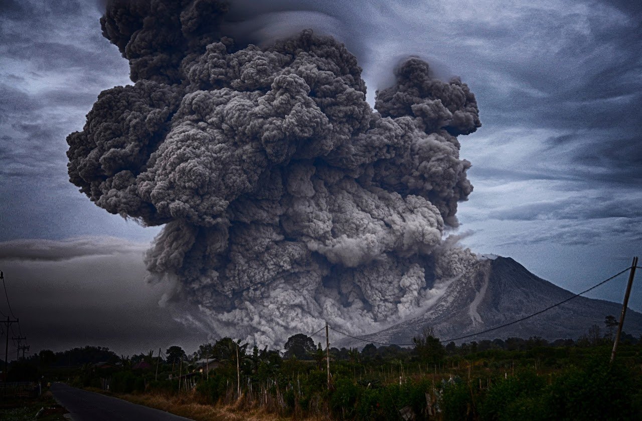
Make it Relevant: Most students are intrigued by earthquakes and volcanoes. To increase engagement even more, show a short clip from a popular disaster movie (San Andreas, The Quake) and discuss how likely these events are to occur in the area you live.